")
Disaster and climate risks on the North Shore
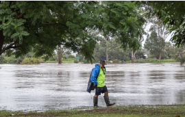
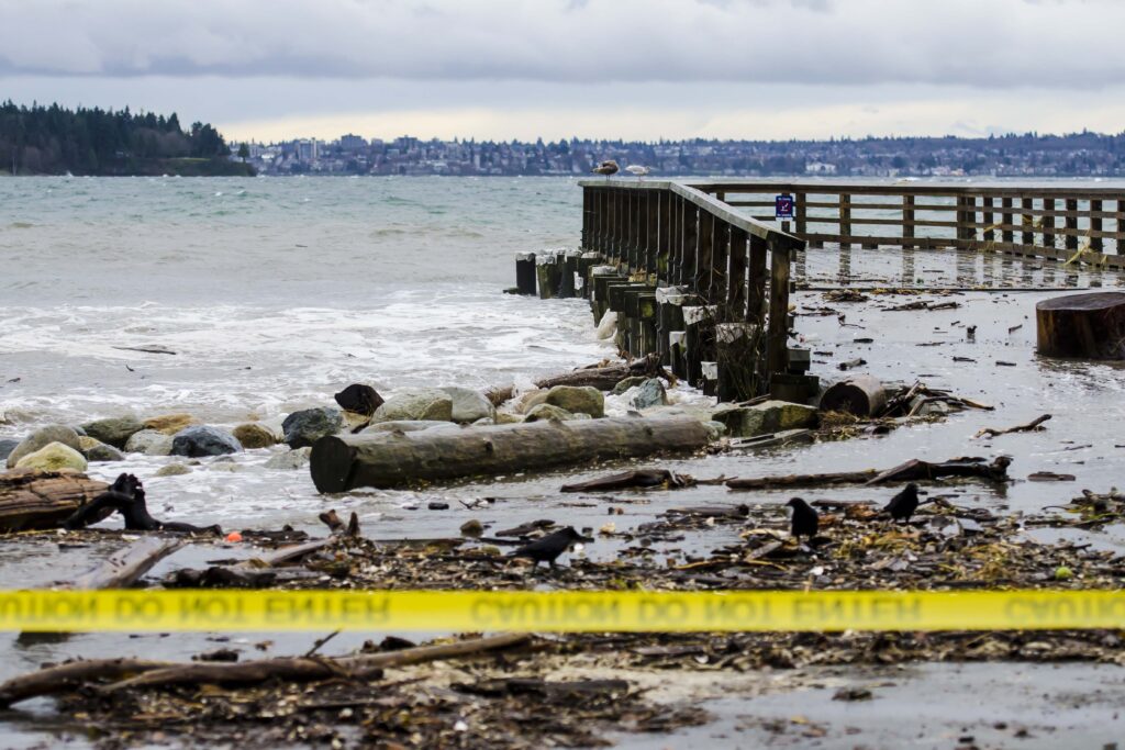
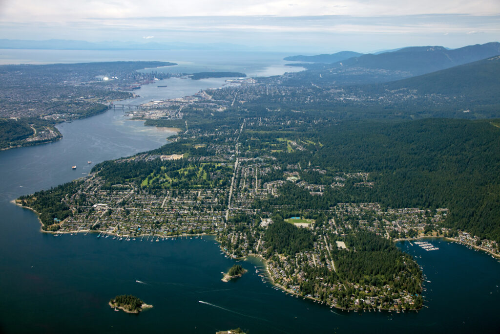
The North Shore is susceptible to a wide range of hazards and risks, including earthquakes, wildfires, landslides, flooding, sea level rise and extreme weather events, in addition to human–induced hazards such as industrial accidents.
Understanding the risks these hazards pose will help people and communities better prepare for, understand, and reduce disaster and climate risks, and ultimately, enhance the resilience of the North Shore.
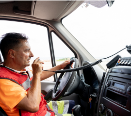
The Disaster and Climate Risk and Resilience Assessment or DCRRA is a foundational tool for emergency management and strategic disaster risk reduction planning. A provincial requirement, the DCRRA was developed over a three-year period, beginning in 2018. Hazards were identified and researched, consequences were developed, and risk scores were calculated and summarized, with input from municipal staff and key partners.
As our understanding of disaster and climate risk and resilience evolves, and as municipalities move forward on their climate adaptation strategies and plans, the DCRRA too will evolve. Future iterations will involve consultation and engagement with experts, municipal partners and Indigenous governing bodies.
To support the public’s understanding of the information presented in the DCRRA, including how to prepare in the event of an emergency, North Shore Emergency Management has developed a storymap. The storymap, titled North Shore Disaster and Climate Risk Profile, is designed to be flexible and interactive, and will be updated as the DCRRA evolves.
To access the DCRRA and storymap, please use the links below.
Disaster and climate risks in BC
The Province of British Columbia has also released its Disaster and Climate Risk and Resilience Assessment (DCRRA). Developed in collaboration with First Nations, local governments, and climate experts, the assessment provides foundational information to help governments better understand disaster and climate risks and take effective actions to reduce impacts and build resilience.
The DCRRA examines six key hazards, including flooding, extreme heat, wildfire, drought and water scarcity, and earthquakes. Explore the Province’s DCRRA, storymap, and interactive BC Hazard Insights tool by visiting the ClimateReadyBC website.